MAPR
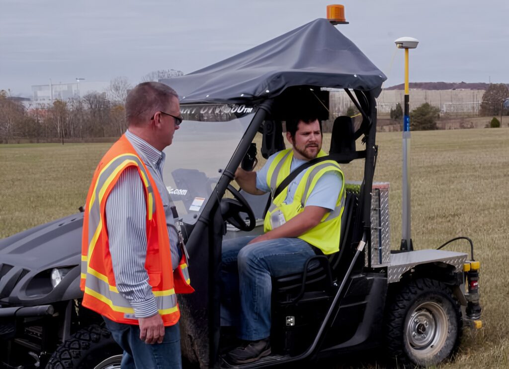
The Mapping and Profiling Rover (MAPR) is ISO-Pacific’s mobile surveying platform. It is purpose driven, designed to fit the specific requirements necessary to appropriately assay an area of concern. The MAPR can be used in several different capacities to meet the terrain. Although traditionally attached to a rover to cover large areas, the MAPR can be retrofitted for the needs of the job. For example, the MAPR can be attached to the arm of a crane to map pits or carried in backpacks to map forested/dense areas. The MAPR can be used anywhere.
ISO’s MAPR is a rugged and accurate way to survey any area for contamination. The Trimble GPS system is capable of defining a location, even in a fairly dense and wooded canopy. These coordinates, along with the information from the detectors are transferred back to our integrated software to produce real-time maps of contaminated areas. The MAPR provides real-time GIS processing and produces overlayed maps in PDF.

In 2015, our MAPR was affixed to a Rhino 4×4 unit and used to map and release over 100 acres of land for Portsmouth. The unit, its maps, and the efficiency of our MAPR Operators were both well-received and touted by our client.
We are proud to offer such a versatile and robust mapping system. It can be used in concert with our Soil Sorting System (S3) to survey an area during a large remediation effort. Whatever your challenge, or contamination of concern, our MAPR system can be configured to give you accurate, real-time maps to assist in your remedial goals.